

Key Takeaways
- GPS works by measuring the travel time of radio signals from orbiting satellites to your device.
- At least four satellites are needed to calculate a precise 3D position including altitude.
- Atomic clocks aboard each satellite make the extreme timing precision possible.
- Your phone's GPS chip only receives signals - it never transmits to satellites.
- Smartphones blend GPS with Wi-Fi and cell data to speed up location fixes.
GPS (Global Positioning System)
GPS is a navigation system that uses a constellation of satellites orbiting Earth to determine the precise location of a receiver on the ground. Your device listens for radio signals from multiple satellites simultaneously, then calculates where you are based on how long each signal took to arrive. The system was originally built by the U.S. Department of Defense and is now freely available for civilian use worldwide.
Civilian GPS accuracy is typically within 3-5 meters under open sky; errors grow in dense urban canyons or under heavy cloud cover. Modern smartphones supplement GPS with Wi-Fi positioning and cell tower data to compensate.
The Satellite Network Above Your Head
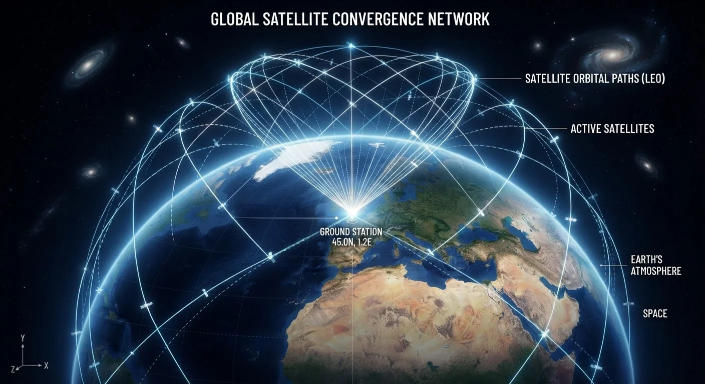
The U.S. GPS constellation consists of at least 24 operational satellites distributed across six orbital planes roughly 20,200 kilometers above Earth's surface. This arrangement ensures that at least four satellites are visible from virtually any point on the globe at any time - and that number is critical, as you'll see below.
Each satellite continuously broadcasts a radio signal on a known frequency. That signal carries two essential pieces of information: the satellite's precise location in orbit at the moment of transmission, and an exact timestamp from its onboard atomic clock. Your GPS receiver picks up these signals passively, like a radio tuned to a specific station. It never sends anything back. This is why GPS works even when your phone has no data plan - the system is entirely one-directional.
20,200 km
GPS satellite orbital altitude above Earth
This altitude is chosen so each satellite completes exactly two orbits per day, keeping coverage geometry predictable.
≥4
Satellites needed for a 3D position fix
Three satellites yield a 2D position; the fourth resolves altitude and corrects receiver clock error.
~3-5 m
Typical civilian GPS accuracy
Under open sky, most consumer devices achieve this range; urban obstructions can degrade accuracy significantly.
How Timing Becomes Distance
Radio signals travel at the speed of light - approximately 299,792 kilometers per second. When your receiver picks up a satellite's signal, it compares the transmission timestamp embedded in that signal against its own internal clock. The difference in time, multiplied by the speed of light, gives the distance between you and that satellite.
One satellite narrows your position down to a sphere of possible locations centered on that satellite. A second satellite produces another sphere. Where two spheres intersect, you get a circle. A third satellite reduces that to two possible points on Earth - and usually only one of those makes geographic sense. A fourth satellite is required to solve for altitude and to correct for the tiny imprecision in your receiver's clock, which is far less accurate than an atomic clock. That fourth fix eliminates the guesswork and locks in a reliable 3D coordinate.
Improve Your GPS Lock Speed
Keep your phone connected to Wi-Fi or cellular data before navigating. A-GPS downloads updated satellite orbital data over the network, cutting your time to first fix from over a minute to just a few seconds. If you're heading somewhere remote with no signal, give your phone a moment to acquire satellites while you still have connectivity.
Why Atomic Clocks Are Non-Negotiable
The math above sounds straightforward, but the timing precision required is extraordinary. Light travels about 30 centimeters in one nanosecond. A timing error of just one microsecond - one millionth of a second - would translate to a positioning error of roughly 300 meters. That kind of accuracy is impossible with ordinary quartz clocks.
Each GPS satellite carries multiple atomic clocks, which keep time accurate to within a few nanoseconds. These clocks are continuously monitored and corrected by ground control stations. Your phone's GPS chip doesn't need its own atomic clock because using four satellite signals allows it to solve for its own clock error as part of the same calculation - essentially using the satellites to calibrate itself in real time.
“The genius of GPS is that it turns an incredibly precise time measurement into a precise distance measurement - and ultimately into a precise location. It is, at its core, a clock problem solved with geometry.”
— Brad Parkinson, Chief architect of the original GPS program and professor emeritus at Stanford University
What Your Smartphone Actually Does Differently
A standalone GPS receiver does all of its processing independently, which can take a minute or more to get the first fix from scratch. Smartphones use a technique called Assisted GPS (A-GPS) to dramatically speed this up. Your phone downloads satellite orbital data - called almanac and ephemeris data - from the internet, so the GPS chip already knows where to look when it starts acquiring signals. What might take 45 seconds cold becomes a 2-3 second fix with assistance.
Smartphones also layer additional positioning technologies on top of GPS. Wi-Fi positioning cross-references nearby network identifiers against a database of known access point locations. Cell tower triangulation provides a coarser backup. A barometer can refine altitude estimates. These systems are managed by what is often called a location engine - part of the larger sensor and radio architecture inside your device. For a deeper look at how these components fit together, see how your smartphone's chips and sensors work together.
GPS Is Not the Only Game in Town
Most modern smartphones receive signals from multiple satellite navigation constellations simultaneously - including Russia's GLONASS, Europe's Galileo, and China's BeiDou. Using more satellites from more systems improves accuracy and reliability, especially in challenging environments like city centers with tall buildings. The generic term for all these systems together is GNSS (Global Navigation Satellite System).